Bronx, New York Zip Codes
Bronx
Bronx
25
718/347/929
The Bronx is the northernmost borough of New York City and the only one located on the mainland United States. Home to Yankee Stadium and the Bronx Zoo, the Bronx contains 25 zip codes.
All Bronx Zip Codes
| ZIP Code | City | County | Population | Type | Details |
|---|---|---|---|---|---|
| 10451 | Bronx | Bronx | 50,942 | Standard | View |
| 10452 | Bronx | Bronx | 75,682 | Standard | View |
| 10453 | Bronx | Bronx | 76,282 | Standard | View |
| 10454 | Bronx | Bronx | 39,570 | Standard | View |
| 10455 | Bronx | Bronx | 44,801 | Standard | View |
| 10456 | Bronx | Bronx | 87,533 | Standard | View |
| 10457 | Bronx | Bronx | 79,543 | Standard | View |
| 10458 | Bronx | Bronx | 74,898 | Standard | View |
| 10459 | Bronx | Bronx | 48,270 | Standard | View |
| 10460 | Bronx | Bronx | 59,396 | Standard | View |
| 10461 | Bronx | Bronx | 52,012 | Standard | View |
| 10462 | Bronx | Bronx | 76,320 | Standard | View |
| 10463 | Bronx | Bronx | 69,470 | Standard | View |
| 10464 | Bronx | Bronx | 3,828 | Standard | View |
| 10465 | Bronx | Bronx | 45,404 | Standard | View |
| 10466 | Bronx | Bronx | 71,116 | Standard | View |
| 10467 | Bronx | Bronx | 96,421 | Standard | View |
| 10468 | Bronx | Bronx | 75,557 | Standard | View |
| 10469 | Bronx | Bronx | 68,521 | Standard | View |
| 10470 | Bronx | Bronx | 16,004 | Standard | View |
| 10471 | Bronx | Bronx | 23,798 | Standard | View |
| 10472 | Bronx | Bronx | 64,011 | Standard | View |
| 10473 | Bronx | Bronx | 58,855 | Standard | View |
| 10474 | Bronx | Bronx | 11,270 | Standard | View |
| 10475 | Bronx | Bronx | 42,578 | Standard | View |
Bronx Zip Code Map
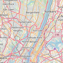
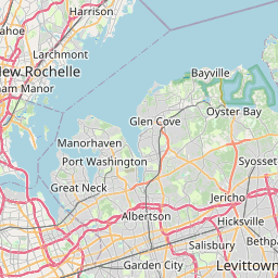
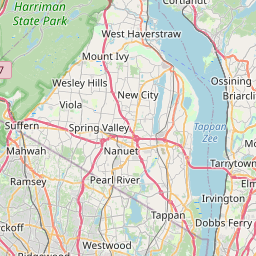
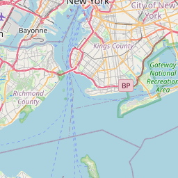
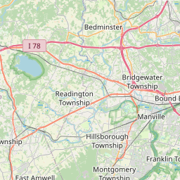
Interactive map of Bronx, New York zip codes. Click any marker for details.
Bronx Demographics Summary
1,412,082
Total Population
25
Zip Codes
$55,549
Avg Median Income
Bronx
County
All demographic data on this page is sourced from the U.S. Census Bureau American Community Survey (ACS) 5-Year Estimates. ZIP code boundary and delivery data is sourced from the United States Postal Service (USPS). Data is updated periodically and may not reflect the most current figures. The Census Bureau's ZIP Code Tabulation Areas (ZCTAs) are the standard used for census-level zip code data. ZCTAs may differ slightly from USPS ZIP code boundaries.